
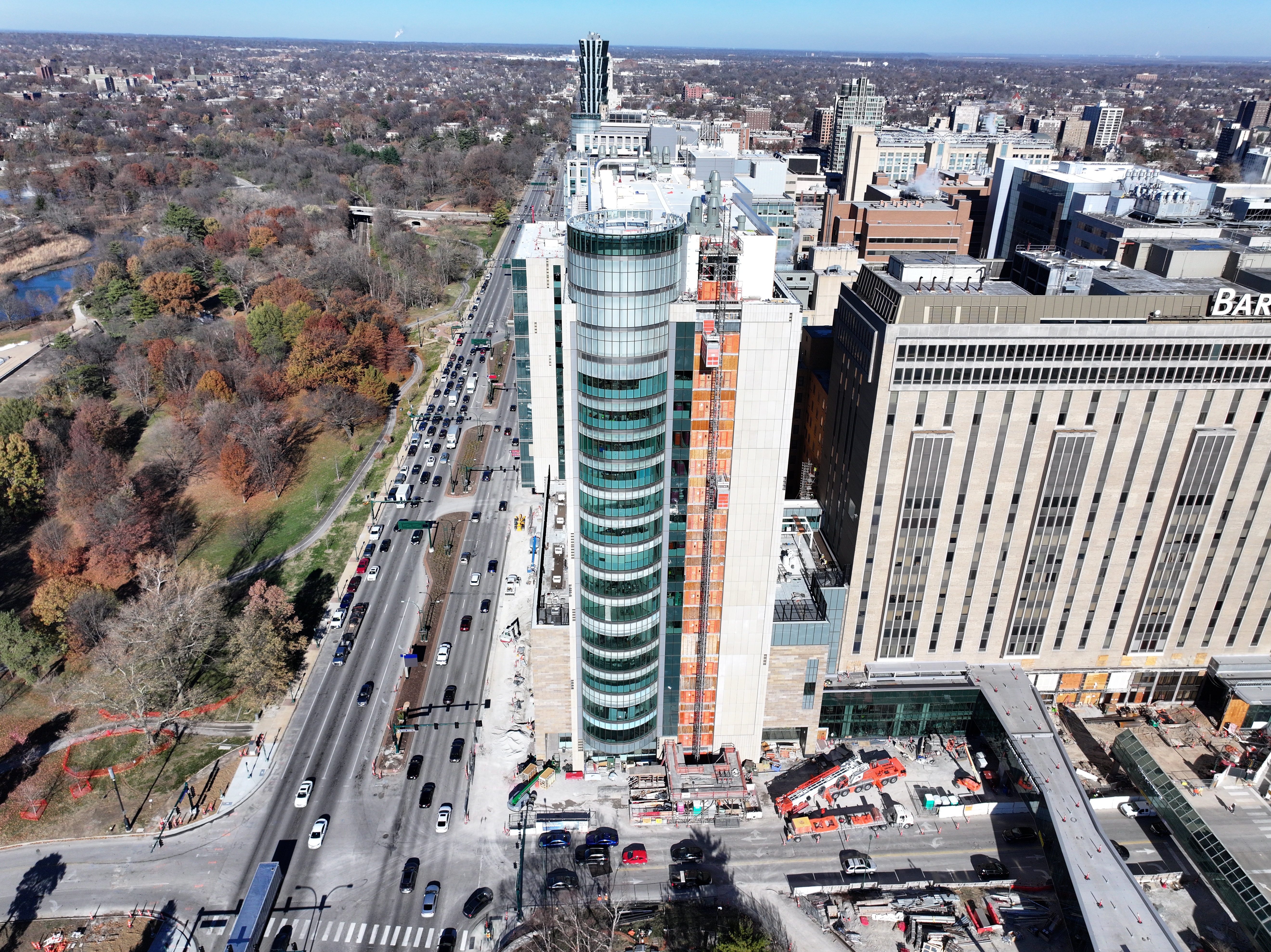
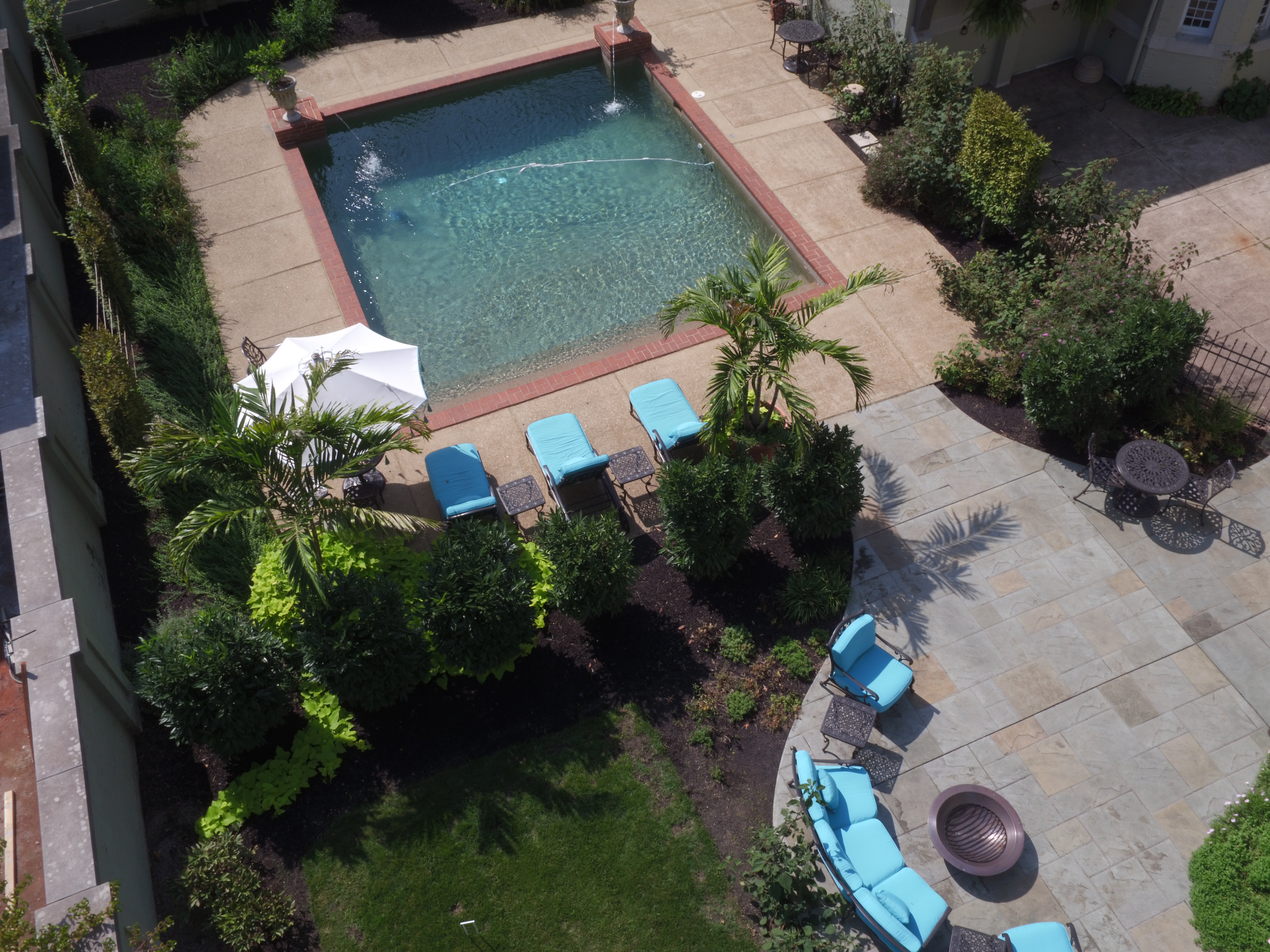
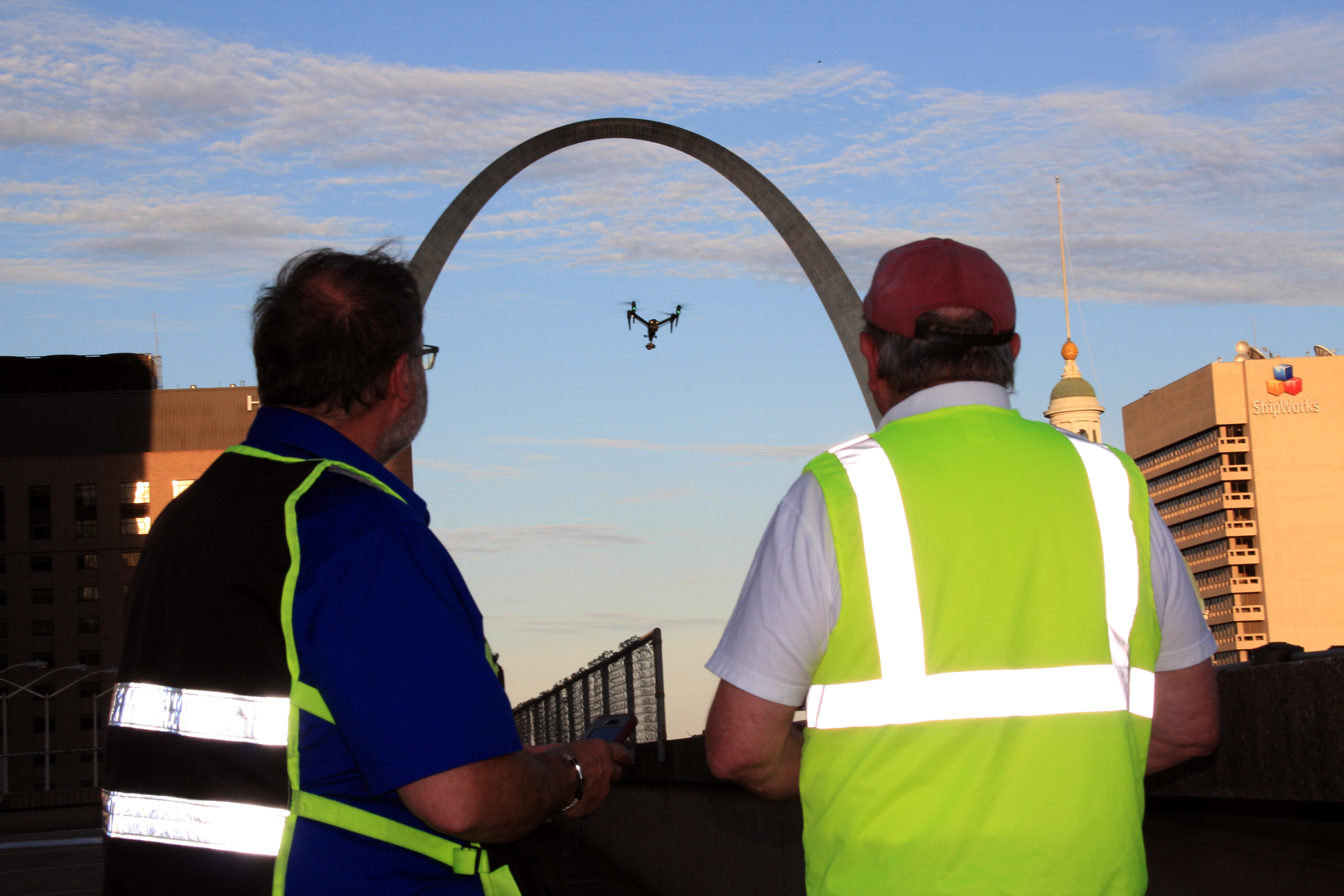
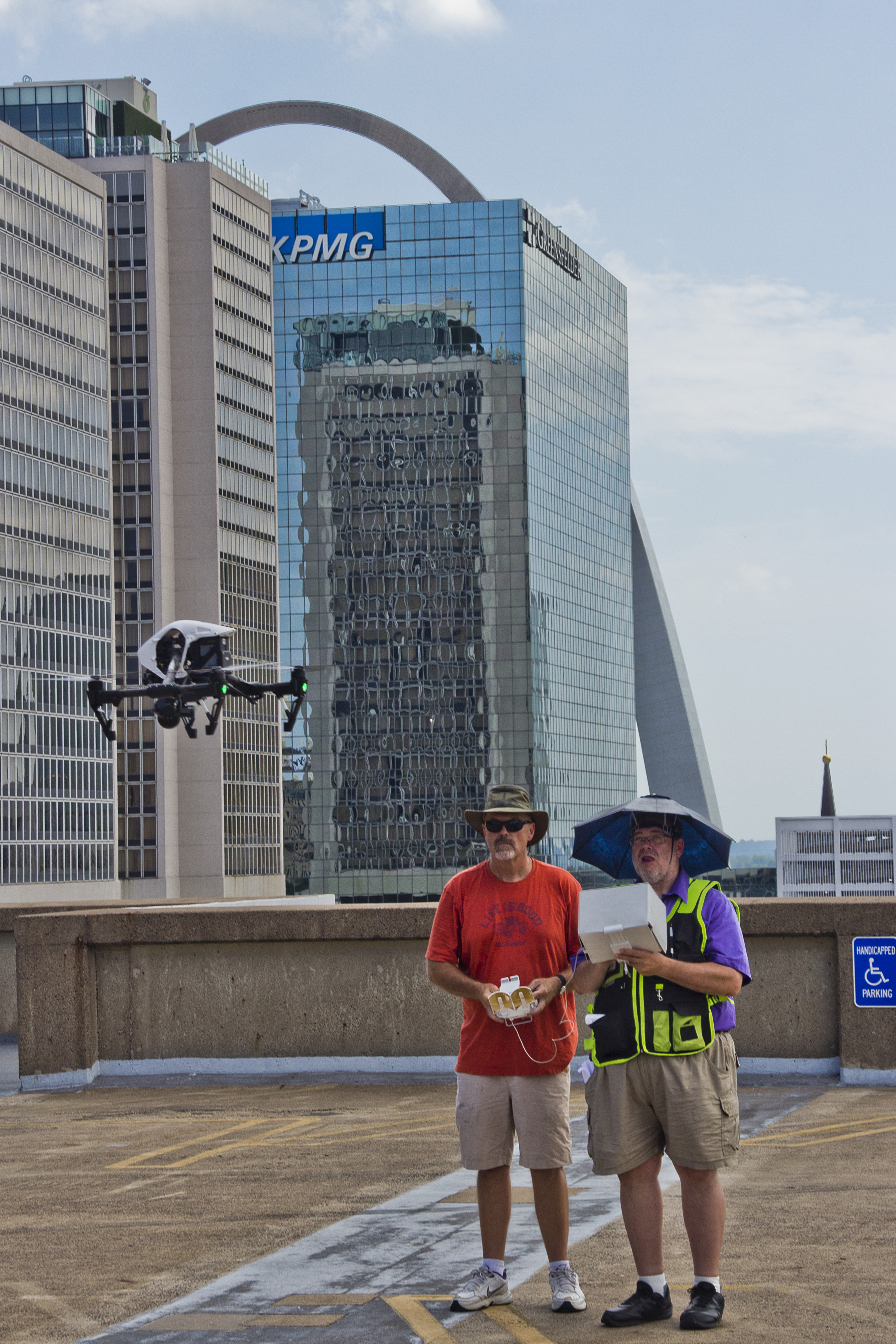
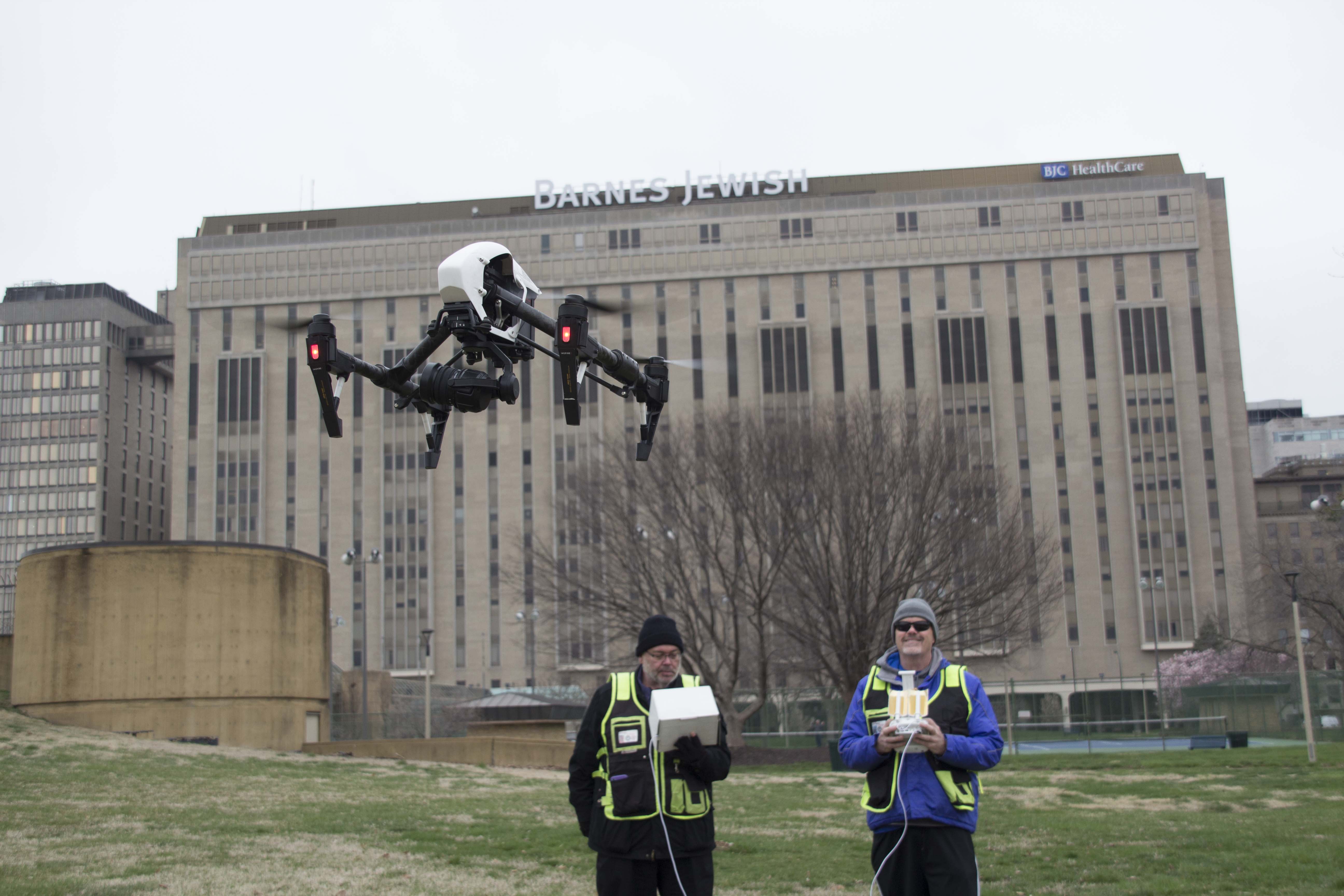
When most organizations think about drone services, they usually picture sweeping aerial footage for commercials, promotional videos, or branded content. That kind of visual storytelling still matters. It adds scale, motion, and production value that can make a business look more polished and more credible. But modern drone work can do far more than create attractive footage.
Other drone special services include infrared thermal imaging, orthomosaics, and LiDAR. These are not just add-ons. They are practical tools that can help businesses and organizations inspect structures, document properties, analyze sites, support planning, and create more useful visual assets for decision-making.
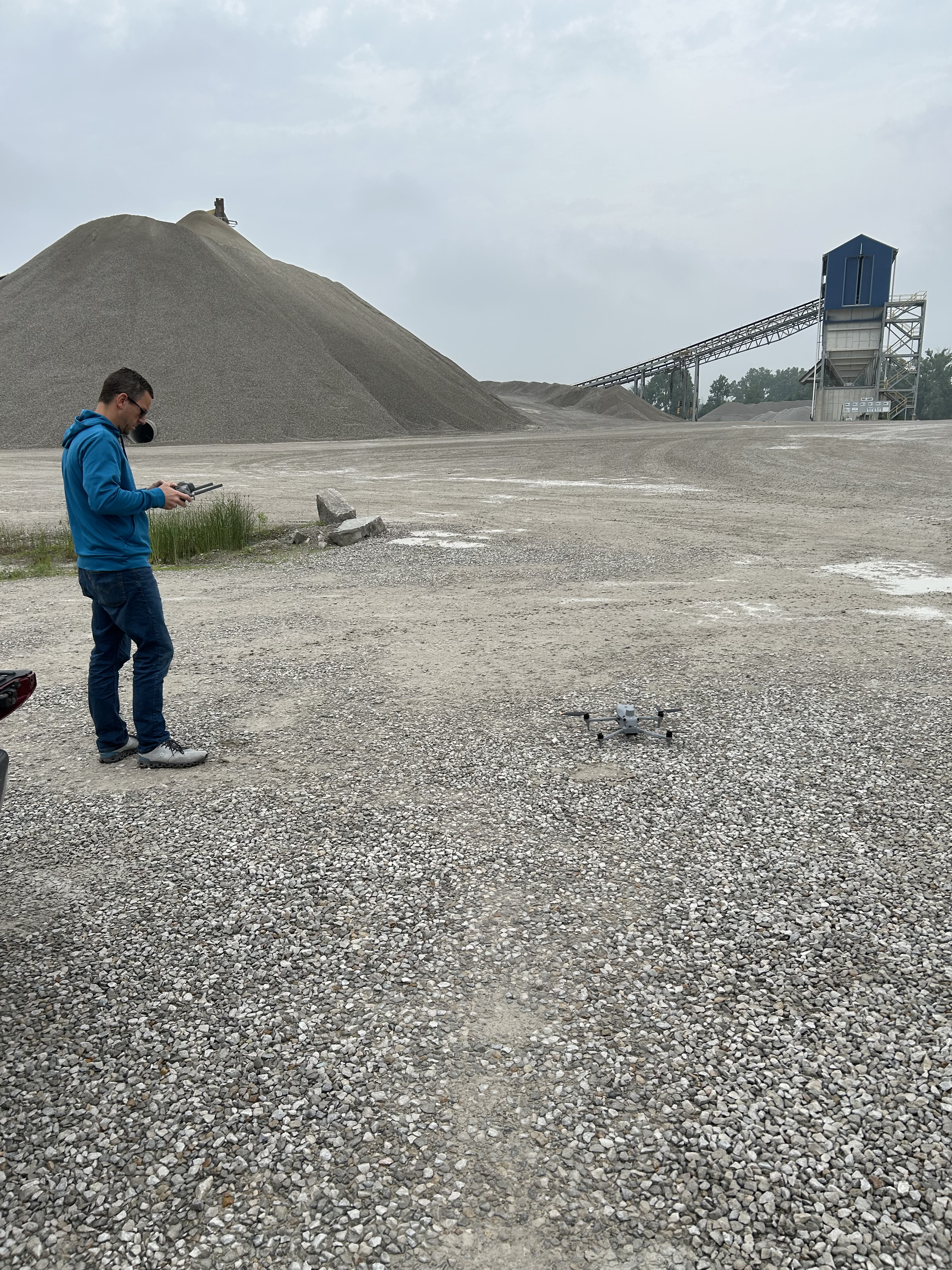
At St Louis Video Services, we help clients look beyond standard drone video. We fly drones for commercials and operate specialized FPV drones indoors, but we also provide advanced drone capabilities that serve operational, technical, and strategic goals. For decision makers in marketing, facilities, real estate, construction, development, manufacturing, and related industries, these services can provide both visual impact and meaningful information.
Drone Services Have Expanded Beyond Traditional Aerial Footage
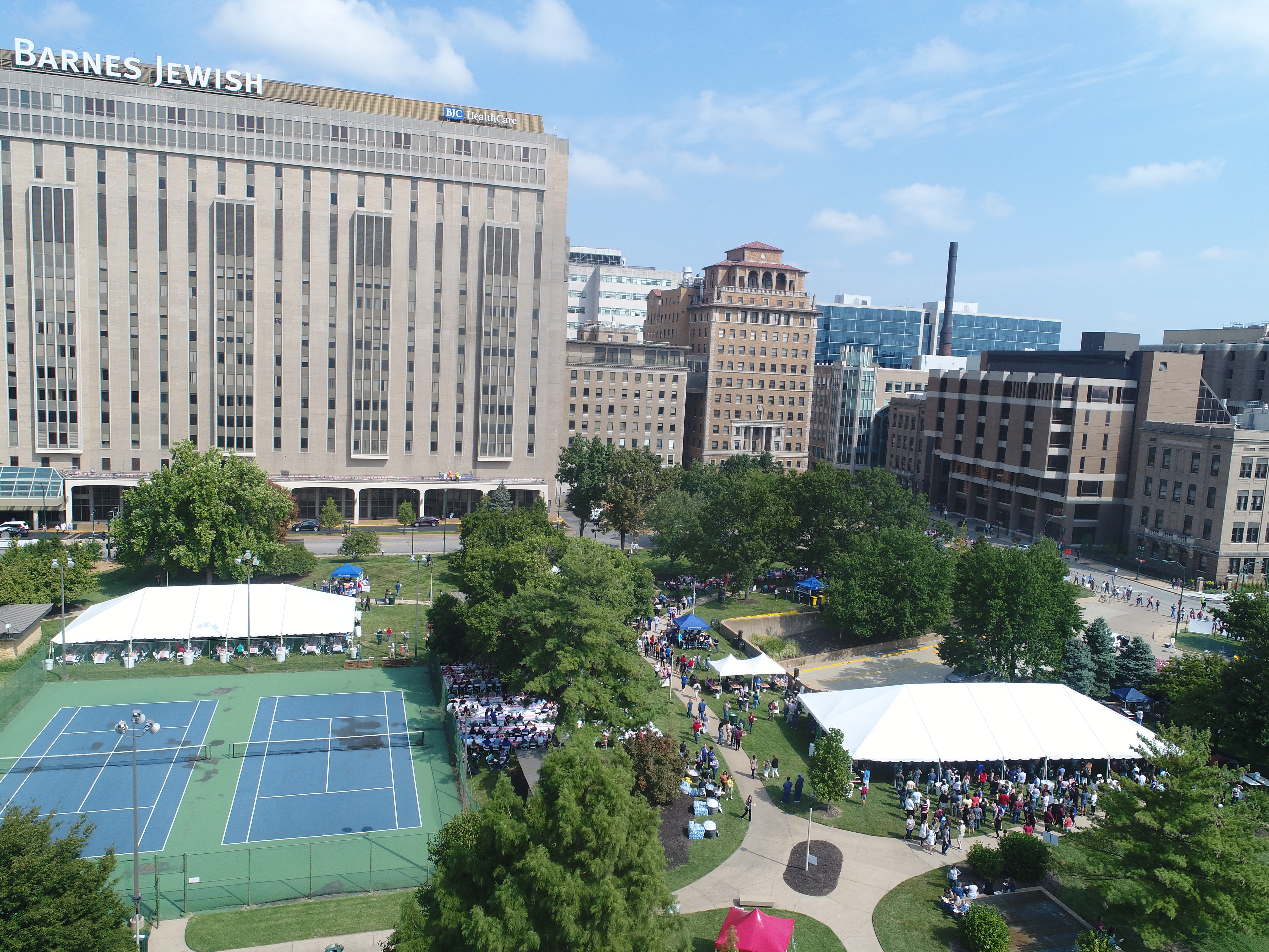
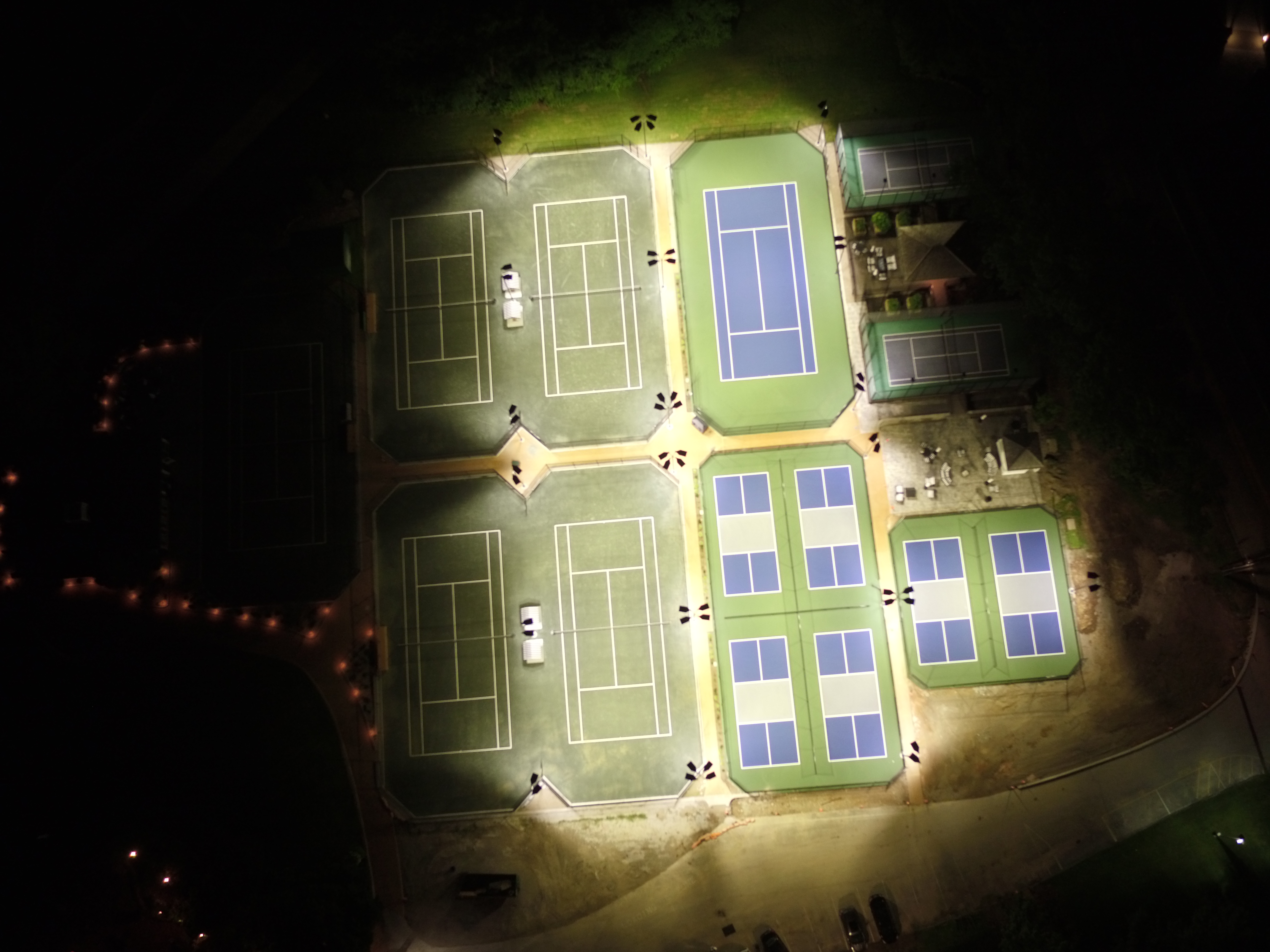
Aerial video remains one of the most effective ways to show scale, energy, access, and environment. For commercials and corporate content, that perspective can instantly improve the professionalism of a production. It can establish location, create motion, and help audiences better understand a property, facility, campus, or operation.
But in many cases, a business needs more than a dramatic flyover.
A property manager may need to identify possible moisture issues on a roof. A developer may need an accurate overhead representation of a site. A contractor may want measurable documentation of progress. A facility team may need a better understanding of grading, terrain, drainage, or heat patterns. That is where specialized drone services deliver real value.
Infrared thermal, orthomosaics, and LiDAR each serve different purposes, but all three can help transform drone work from visual content into a more useful business tool.
Infrared Thermal Drone Imaging
Infrared thermal drone services allow organizations to evaluate heat differences across surfaces, systems, and structures. Unlike conventional video or photography, thermal imaging can reveal patterns that are invisible to the naked eye. This can help identify conditions that deserve closer review and can support maintenance, inspection, and documentation efforts.
Roof Assessments and Moisture Detection
Commercial roofs can hide problem areas that are difficult to spot with a standard visual inspection alone. Thermal imaging may reveal temperature inconsistencies that suggest trapped moisture, insulation problems, or other performance concerns. For building owners and facilities teams, that can make inspections more informative and more efficient.
Building Envelope and Energy Review
Temperature differences along walls, rooflines, and other exterior surfaces can sometimes point to air leakage, insulation gaps, or building envelope issues. Thermal drone imaging can assist organizations that want a higher-level visual assessment before moving into more detailed investigation.
Industrial and Equipment Applications
In certain settings, thermal drone capture can help identify unusual heating patterns in exterior systems, components, or equipment areas. This can be useful in industrial, utility, manufacturing, and institutional environments where preventative awareness matters.
Visual Communication for Technical Services
Thermal imagery is not only useful for analysis. It can also be an effective communication asset. Engineering firms, contractors, roofing companies, energy-related organizations, and technical service providers can use thermal visuals in presentations, reports, marketing materials, and client education efforts. It helps explain complex conditions in a format that is much easier to understand.
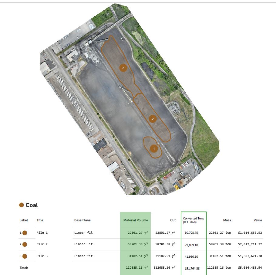
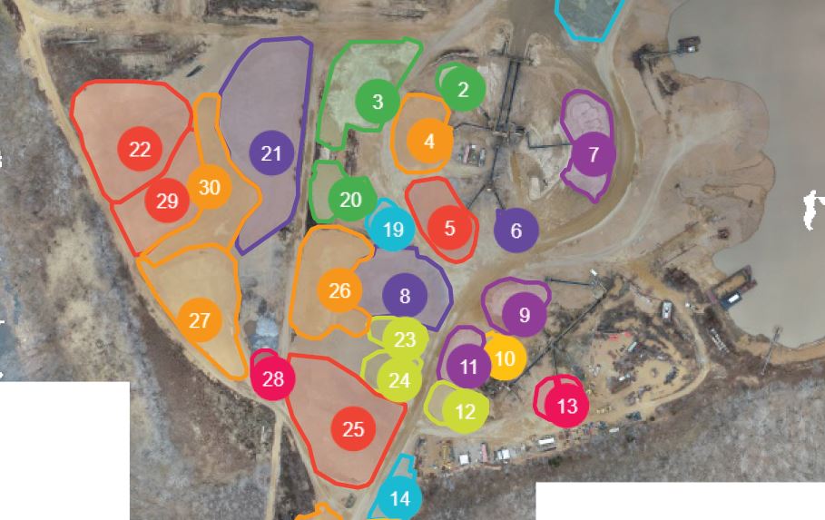
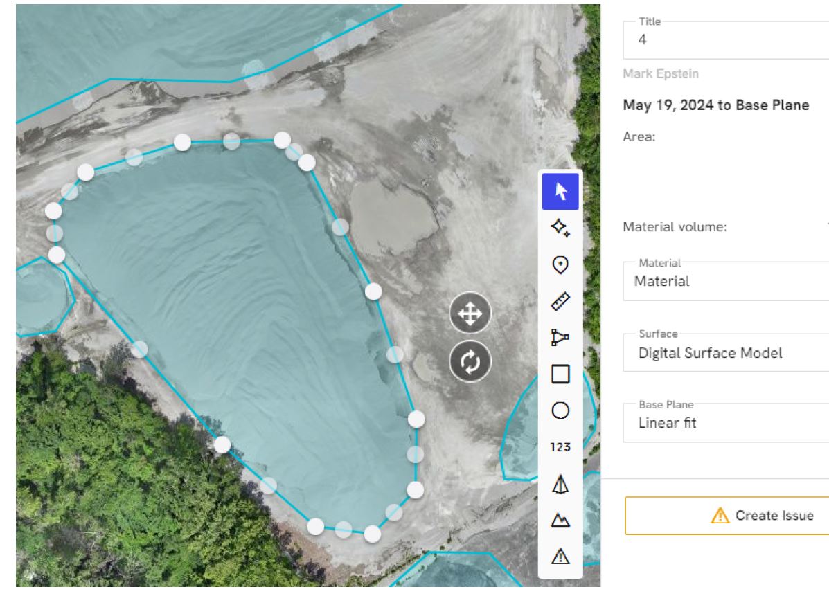
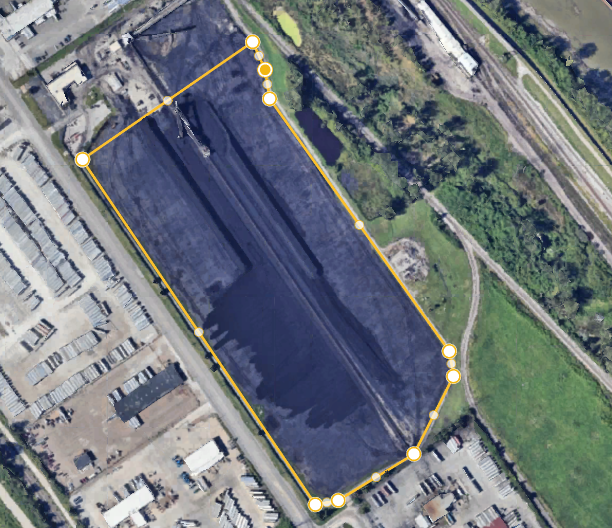
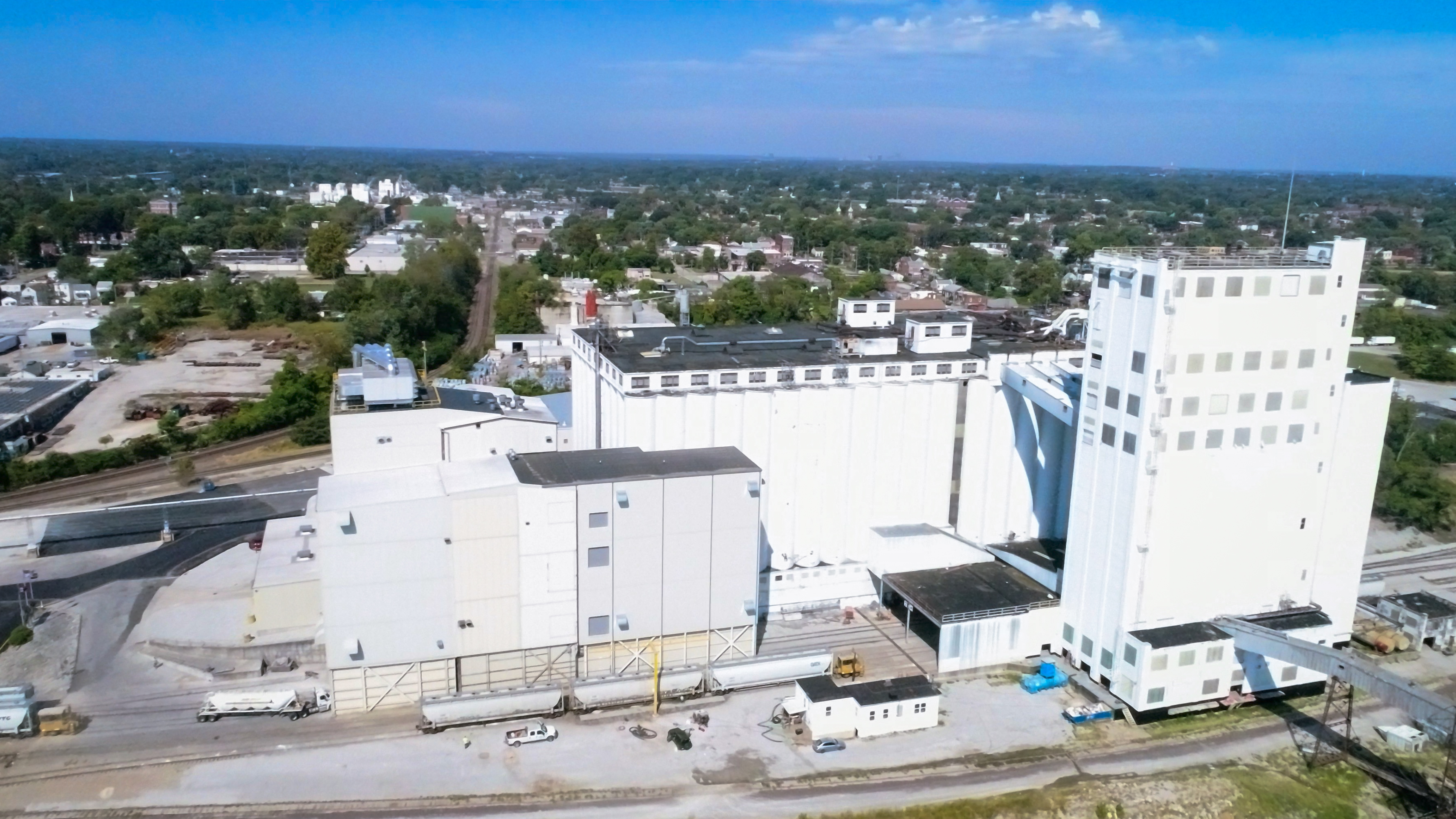
Orthomosaics for Accurate Site Documentation
An orthomosaic is a highly detailed aerial image created from many overlapping drone photographs that are stitched together and corrected for distortion. The result is a top-down image that functions more like a precise map than a typical aerial photograph.
This type of deliverable is especially useful when a business or organization needs clarity, consistency, and measurable perspective over a large area.
Better Overviews of Properties and Sites
Orthomosaics are valuable for commercial properties, development sites, campuses, industrial facilities, construction zones, schools, municipalities, and large land parcels. They provide a clean and organized overhead representation that can be far more useful than a standard oblique drone image when teams need to understand layout and relationships.
Planning and Coordination Support
A corrected top-down image helps stakeholders evaluate access, staging, traffic flow, usable space, boundaries, material storage, and workflow areas. It becomes a practical planning tool for internal teams, consultants, contractors, and leadership.
Progress Documentation Over Time
One of the major benefits of orthomosaics is repeatability. They can be captured at intervals to show progress, development, site changes, or recovery efforts over time. This can be especially helpful for construction, land development, infrastructure work, or large property improvements.

Stronger Real Estate and Stakeholder Presentations
Orthomosaics can also improve communication with investors, clients, prospects, boards, and project partners. They help viewers understand a property or project quickly because they present the entire site in a single, easy-to-read image.
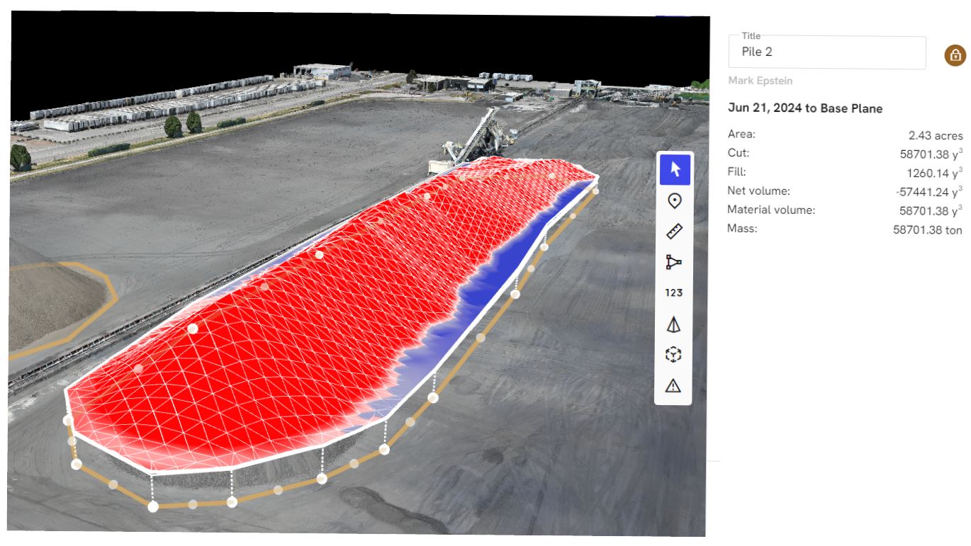
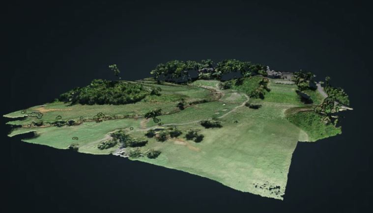
LiDAR for Advanced Mapping and Spatial Understanding
LiDAR is one of the more advanced drone-based technologies available for organizations that need a higher level of accuracy and site intelligence. LiDAR uses laser pulses to collect spatial information and generate detailed models of the ground, terrain, and surrounding features.
For projects where precision matters, LiDAR can offer advantages that conventional aerial imaging alone may not provide.
Terrain and Elevation Data
LiDAR is especially useful for organizations that need to understand ground form, elevation changes, contour, or topography. This can support engineering reviews, development planning, drainage studies, infrastructure evaluations, land analysis, and other measurement-driven workflows.
Performance in Vegetated Areas
One reason LiDAR is so valuable is that it can often provide better ground information in vegetated environments than traditional image-based methods. For wooded properties, overgrown corridors, and uneven terrain, that can make a major difference in the quality of the data collected.
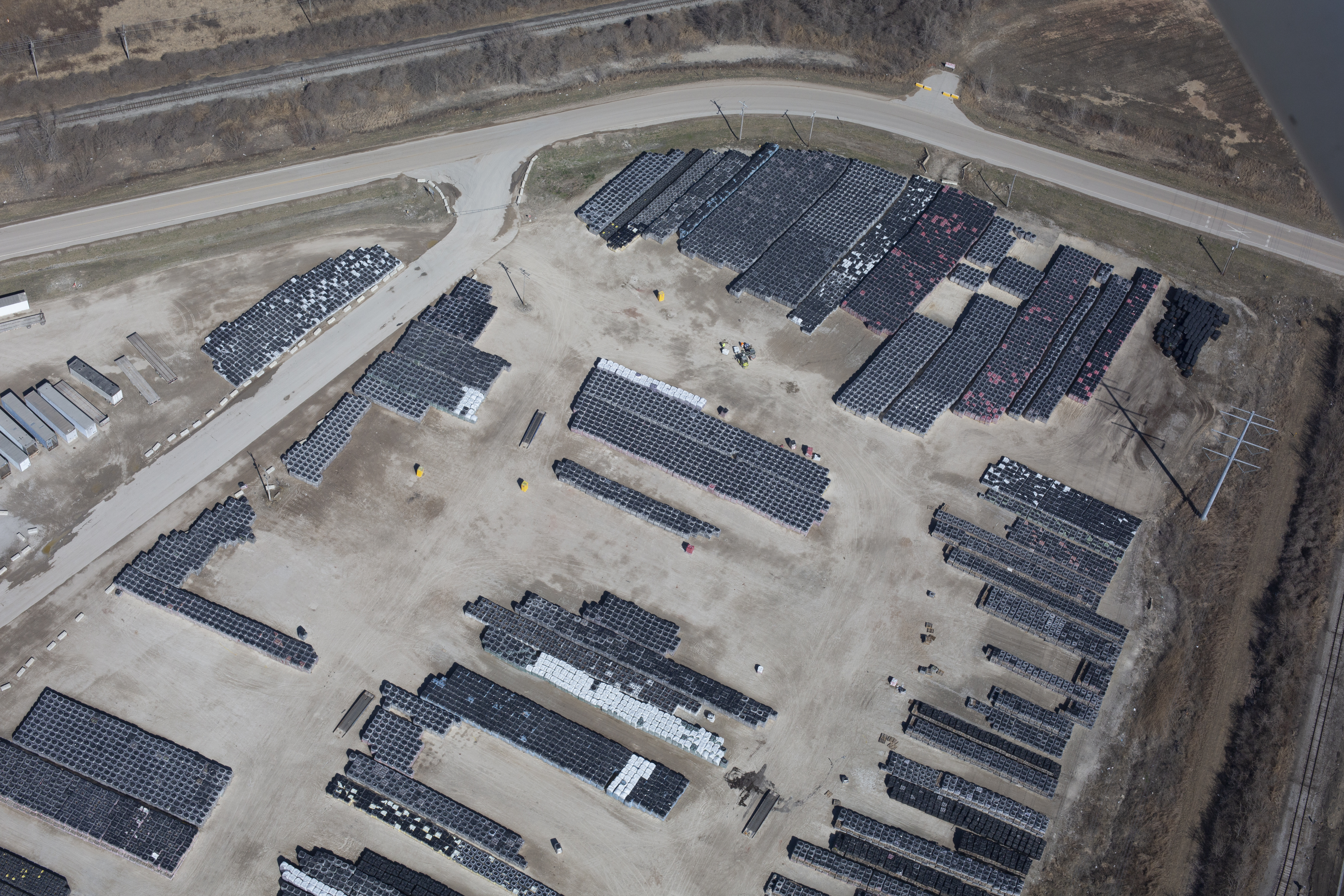
Volume Analysis and Surface Measurement
LiDAR can assist with projects involving stockpiles, earthmoving, grading, and surface evaluation. For businesses working in construction, aggregates, industrial operations, or land management, these capabilities can provide more than visual reference. They can provide meaningful measurement support.
3D Modeling and Project Planning
LiDAR can contribute to sophisticated site models and a more detailed understanding of real-world conditions. For organizations managing complex sites or planning future work, that added layer of information can improve strategy, reduce uncertainty, and support better coordination.
Matching the Right Drone Service to the Right Objective
The most effective drone projects start with the right question. Not every business needs every specialized service, and not every project benefits from the same deliverables.
If the priority is identifying suspicious heat variation, thermal imaging may be the right approach.
If the priority is creating an accurate, large-scale top-down image for planning or documentation, an orthomosaic may be the better choice.
If the priority is terrain accuracy, elevation data, or more advanced mapping insight, LiDAR may be the best fit.
In many situations, the smartest solution is a combination of services. A business may want promotional aerial video for marketing, FPV interior drone footage for a more immersive commercial, and orthomosaic or LiDAR deliverables for operational planning. A property owner may want thermal review alongside standard aerial visuals. A construction team may need progress video and accurate site documentation at the same time.
The goal is not simply to fly a drone. The goal is to capture the right information and present it in a way that is useful.

Drone Work Still Supports Marketing and Communication
Even highly technical drone services often end up supporting communication goals. Executives need visuals that clarify conditions and opportunities. Marketing teams want stronger assets. Operations teams want documentation they can actually use. Investors, boards, and clients want a better understanding of properties and projects.
That is why experience matters. The value of drone work is not just in the aircraft or the camera. It is in understanding the purpose of the project, flying safely and efficiently, and delivering files that make sense for the client’s real-world needs.
A strong drone partner understands the difference between capturing footage that looks impressive and producing deliverables that genuinely help an organization move forward.
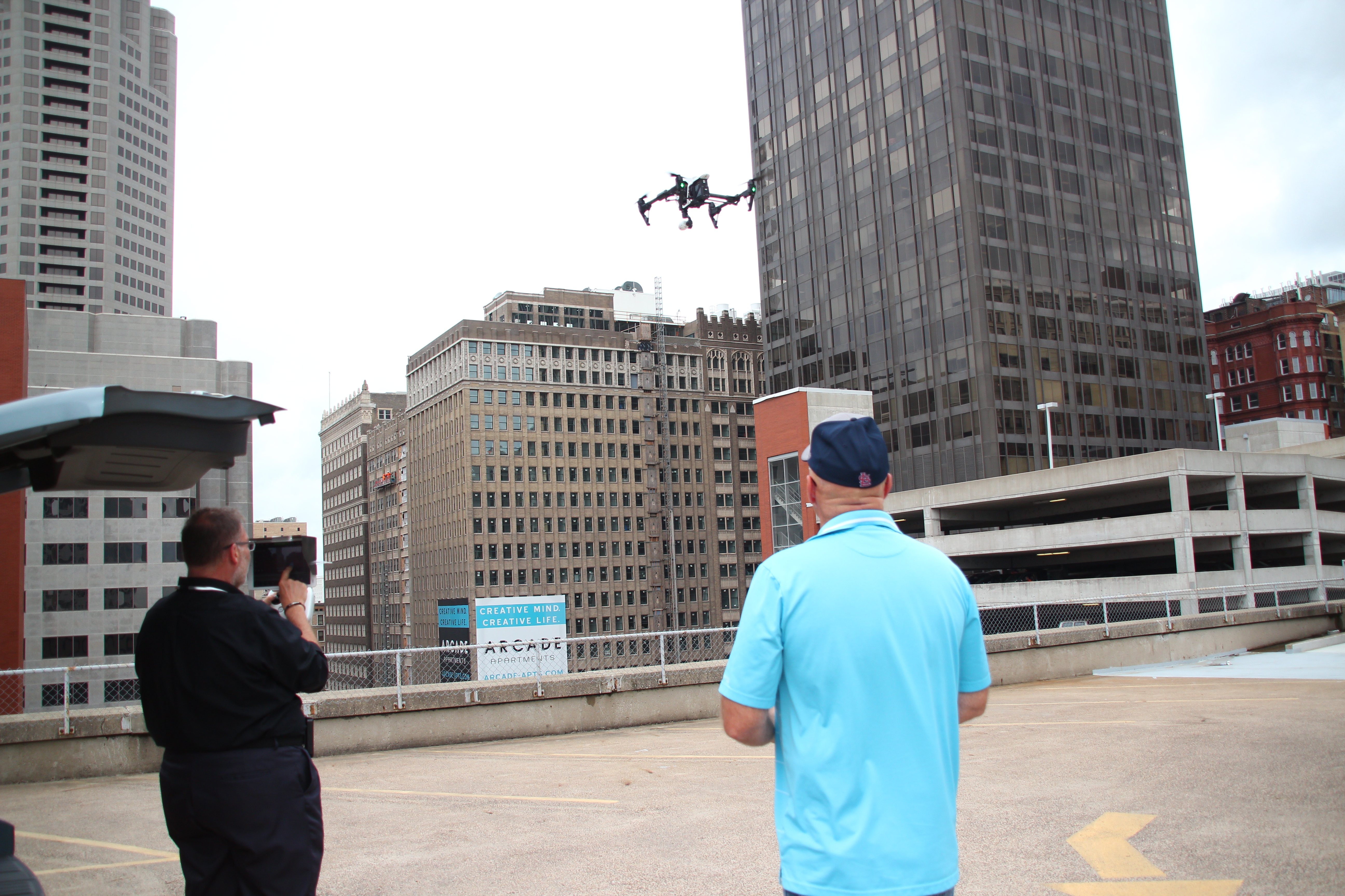
Indoor FPV Drone Capability for Commercial Production
At St Louis Video Services, we also fly drones for commercials and fly our specialized FPV drones indoors. That gives clients a creative option that can be difficult to replicate with conventional cameras, dollies, cranes, or gimbal systems.
Indoor FPV drone footage can move through office interiors, warehouses, showrooms, production spaces, retail environments, hospitality venues, event locations, and industrial facilities in a smooth, immersive way. It can add energy and motion to a commercial while showing off a space in a memorable format.
When this creative capability is paired with services such as infrared thermal, orthomosaics, and LiDAR, businesses gain more than eye-catching visuals. They gain access to drone solutions that can support branding, inspections, planning, and documentation at the same time.

Why Businesses Need an Experienced Drone Production Team
Specialized drone services require much more than basic flight skills. They require planning, site awareness, safety discipline, technical understanding, and a clear sense of how the final content or data will be used.
That includes understanding environmental conditions, lighting, flight paths, building constraints, indoor navigation, output requirements, and post-production workflows. It also means knowing how to organize deliverables so they are practical for marketing teams, property managers, engineers, consultants, and other stakeholders.
Decision makers should work with a team that understands both the creative and technical sides of drone production. That balance is what makes the work more useful and more valuable.
